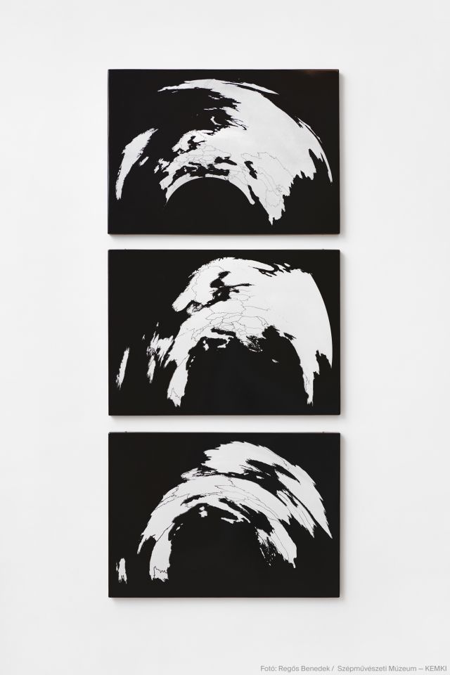
GRÓF Ferenc: Finding Central Europe, 2023
3 enamel panels, each 70 x 50 cm
The work cartographically records the “phases” of a thought experiment connected to the problem of institutional identity: three enamel plates placed below one another document experiments (with a gradually narrowing focus) in the search for—and the finding of (?)—Central Europe. The cartographic settings for localising the “centre” consist of three versions of the world, transformed along three different interpretations of Europe—Eurasia vs. geographical Europe vs. the European Union—and projected onto a spherical, or perhaps more cylindrical, surface. The anamorphosis-like distortion and the geometrical rules of cartographic representation shape the metamorphosis of such aspects as centre, periphery and semi-periphery along the coordinates of different historical/political perspectives and ideological constructs; it organises and constricts geographical forms around imaginary and/or real centres. The enamel art trio is linked to the group of critical cartographic works (representing various genres) produced by the Société Réaliste, including Spectral Aerosion (2011), for instance, with its surface cut into fragments by the borders that have been drawn and redrawn over the last 2000 years of human history. Other examples include Greater Europe (within the Culture States project, 2008), with its image of a maximalised area of Europe as dreamed up by irredentist and expansionist sentiments, and Mare Nostrum (2010), which transplants cities of the Mediterranean coast to the Arctic shoreline.
